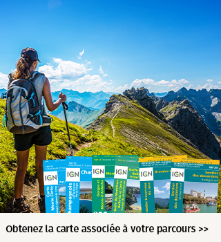
CHEMIN ECLUSIER VISORANDO 14.8 kms
- Mis à jour le 18/02/2022
- Identifiant 1580844
Sélectionner le fond de carte

PLAN IGN

PHOTOS AERIENNES

CARTES IGN MULTI-ECHELLES

TOP 25 IGN

CARTES DES PENTES

PARCELLES CADASTRALES

CARTES OACI

CARTES 1950 IGN

CARTE DE L’ETAT-MAJOR (1820-1866)

Open Street Map
Afficher les points d'intérêt à proximité
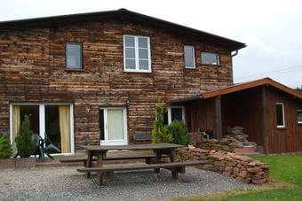
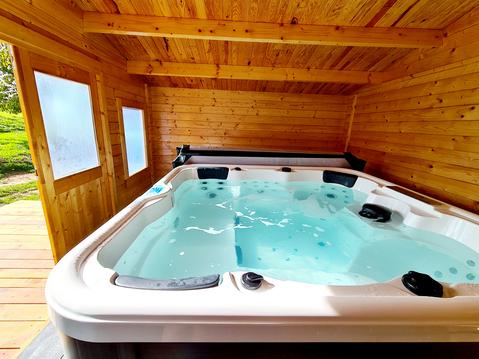
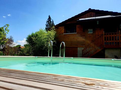
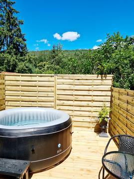
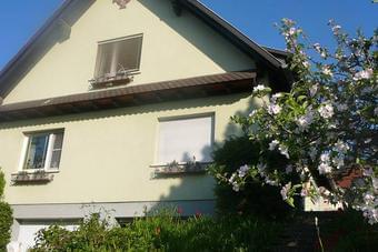
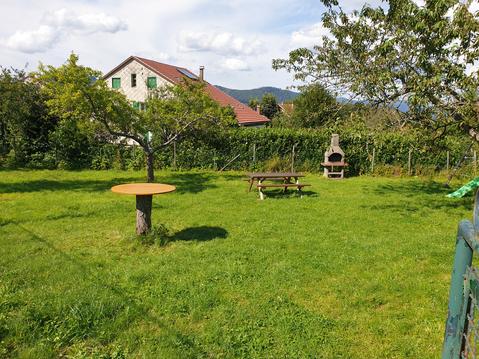
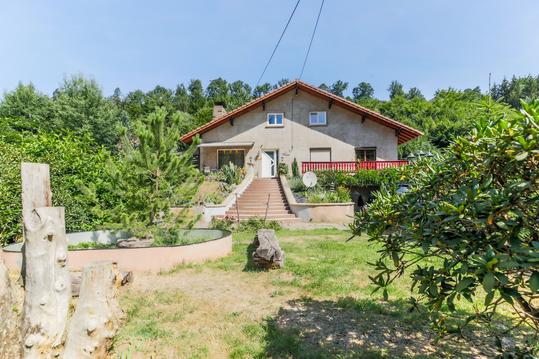
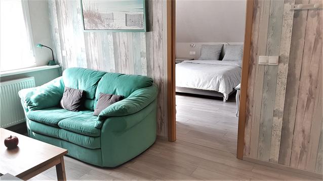
Hébergements
Informations
Lieux d'intérêts
Producteurs
Restauration
Services et Commerces
Autre
Echelle
|
durée / niveau
Rando pédestre
|
distance
14,8 km
type parcours
Boucle
|
|||||||||
|
Lieu de départ
57820 Henridorff
|
accessibilite
|
|||||||||
|
prestations payantes
Non
|
type(s) de sol
Herbe
|
|||||||||
Hébergements à proximité

infos parcours (22)
1
Escalier métallique
Informations complémentaires
kilomètre
5,08
latitude
48.7289
altitude
295
m
longitude
7.23294
2
Parking de l'Auberge des Éclusiers
Informations complémentaires
kilomètre
0,00
latitude
48.7196
altitude
221
m
longitude
7.22603
3
Rue du Ehrenweg à droite
Informations complémentaires
kilomètre
11,73
latitude
48.7031
altitude
415
m
longitude
7.24165
4
À droite vers le pont
Informations complémentaires
kilomètre
19,25
latitude
48.7136
altitude
254
m
longitude
7.24657
5
Réservoir, à droite
Informations complémentaires
kilomètre
19,27
latitude
48.7137
altitude
253
m
longitude
7.24638
6
A/R au grand bac
Informations complémentaires
kilomètre
20,28
latitude
48.7191
altitude
242
m
longitude
7.24847
7
Route Forestière à gauche
Informations complémentaires
kilomètre
20,69
latitude
48.7225
altitude
231
m
longitude
7.24786
8
A gauche sur la route forestière
Informations complémentaires
kilomètre
20,68
latitude
48.7227
altitude
226
m
longitude
7.24794
9
A/R au château
Informations complémentaires
kilomètre
22,20
latitude
48.7306
altitude
261
m
longitude
7.25327
10
À droite vers la rue principale
Informations complémentaires
kilomètre
22,57
latitude
48.7318
altitude
215
m
longitude
7.25076
11
À droite au canal
Informations complémentaires
kilomètre
24,08
latitude
48.7278
altitude
219
m
longitude
7.23466
12
Parking Auberge des Éclusiers
Informations complémentaires
kilomètre
29,57
latitude
48.7196
altitude
221
m
longitude
7.22604
13
Point de vue
Informations complémentaires
kilomètre
24,55
latitude
48.7289
altitude
292
m
longitude
7.23215
14
Sentier des Rochers
Informations complémentaires
kilomètre
25,50
latitude
48.7278
altitude
282
m
longitude
7.22737
15
Légèrement à gauche
Informations complémentaires
kilomètre
26,06
latitude
48.7235
altitude
284
m
longitude
7.2267
16
Croisement, prendre légèrement à gauche
Informations complémentaires
kilomètre
26,07
latitude
48.7234
altitude
284
m
longitude
7.22674
17
A/R au Rocher du Corbeau
Informations complémentaires
kilomètre
26,39
latitude
48.7217
altitude
287
m
longitude
7.22517
18
À droite, Route Forestière de Bodenmark
Informations complémentaires
kilomètre
27,69
latitude
48.7266
altitude
316
m
longitude
7.21474
19
Franchir la passerelle
Informations complémentaires
kilomètre
27,98
latitude
48.7262
altitude
283
m
longitude
7.21204
20
À droite traverser l'ancien canal
Informations complémentaires
kilomètre
27,99
latitude
48.7261
altitude
277
m
longitude
7.21189
21
Quitter la route, à gauche
Informations complémentaires
kilomètre
28,96
latitude
48.7202
altitude
229
m
longitude
7.21845
22
À droite passerelle métallique
Informations complémentaires
kilomètre
28,95
latitude
48.7201
altitude
226
m
longitude
7.21861