Pic st Michel par le vertige des cimes
- Thématique Montagne
- Mis à jour le 14/06/2024
- Identifiant 2477222
Sélectionner le fond de carte

PLAN IGN

PHOTOS AERIENNES

CARTES IGN MULTI-ECHELLES

TOP 25 IGN

CARTES DES PENTES

PARCELLES CADASTRALES

CARTES OACI

CARTES 1950 IGN

CARTE DE L’ETAT-MAJOR (1820-1866)

Open Street Map
Afficher les points d'intérêt à proximité
Hébergements
Informations
Lieux d'intérêts
Producteurs
Restauration
Services et Commerces
Autre
Echelle
|
durée / niveau
Rando pédestre
|
distance
11,8 km
type parcours
Boucle
|
|||||||||
|
Lieu de départ
4400 Route des Montagnes de Lans
3 Lans-en-Vercors |
accessibilite
|
|||||||||
|
prestations payantes
Non
|
type(s) de sol
Graviers
Herbe Rochers |
|||||||||
description
Parcours dans le massif du Vercors
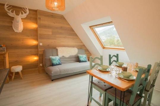
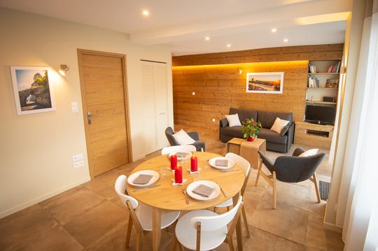
Hébergements à proximité

infos parcours (6)
1
Parking station
Informations complémentaires
kilomètre
0,00
latitude
45.1166
altitude
1390
m
longitude
5.61024
2
Carrefour les Virets
Informations complémentaires
kilomètre
1,34
latitude
45.123
altitude
1592
m
longitude
5.62302
3
Belvédère Vertige des Cimes
Informations complémentaires
kilomètre
2,41
latitude
45.1148
altitude
1697
m
longitude
5.62438
4
Intersection Combe Oursière
Informations complémentaires
kilomètre
4,92
latitude
45.0962
altitude
1735
m
longitude
5.61417
5
Carrefour Font Froide
Informations complémentaires
kilomètre
7,76
latitude
45.0862
altitude
1509
m
longitude
5.60506
6
Parking des Barnets
Informations complémentaires
kilomètre
10,38
latitude
45.1074
altitude
1270
m
longitude
5.60386