Le plateau d'Ambel
- Thématique Montagne
- Mis à jour le 14/06/2024
- Identifiant 2477230


|
durée / niveau
Rando pédestre
|
distance
14,2 km
type parcours
Boucle
|
|||||||||
|
Lieu de départ
26400
|
accessibilite
|
|||||||||
|
prestations payantes
Non
|
type(s) de sol
Bitume
Graviers Herbe |
|||||||||
description
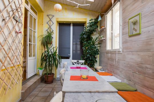
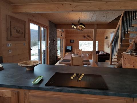
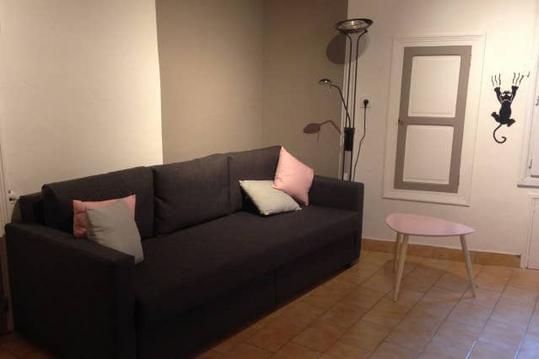
Hébergements à proximité
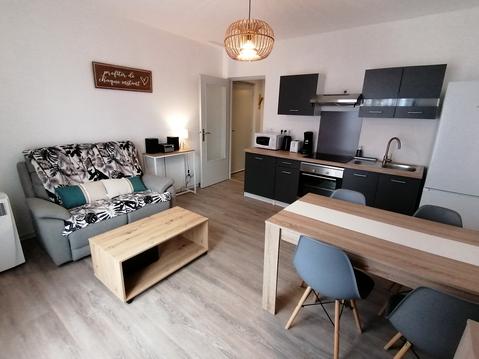
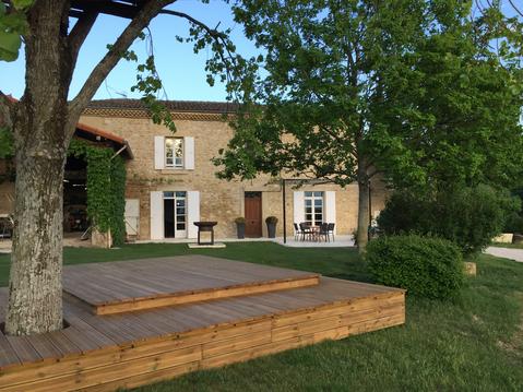
L'ESCALE DETENTE EN VERCORS
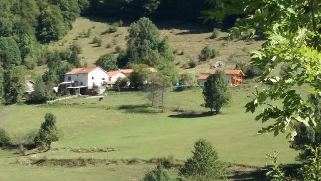
Maison de hameau dans le parc du vercors
Belle bastide au pied du vercors avec piscine
Cocon Familial - gîte de charme au centre de Die
VERCORS : MAGNIFIQUE CHALET EN BOIS 12 COUCHAGES
L'Harmas
Maison en pierres dans village perché de Mirabel
L' Echappée en Vercors ☆☆☆